10:04 A.M.
This will be a rather short post, as little has changed and my internet at home is so slow that it is not practical to even attempt to look at a variety of model charts. The pattern change still looks to be on tap, which is fantastic to see.

Valid 04:00 am PST Fri, 23 Dec 2011 - UW 12z 36km WRF-GFS 500mb vorticity, heights
The above chart shows the heights at the 500mb level of the atmosphere when the 12z WRF-GFS model was initialized, which was 4 A.M. PST this morning. You can see that although the flow is gradually becoming more zonal, there is still a large ridge over our area. Thankfully, this ridge will start to flatten and collapse, and numerous storms will start to impact the Pacific Northwest. None of these storms look particularly strong at this point, but they will help to build up some snowpack in the mountains.
Our pattern change will begin with a rather weak front on Christmas Day. We will see a bit of light rain. and it may get breezy along the coast. The most significant thing about this storm is that it will be the first storm in a series of storms that will roll through our area.
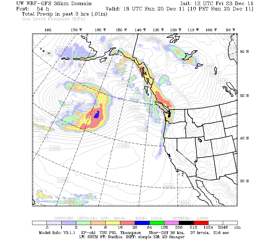
Valid 10:00 am PST Sun, 25 Dec 2011 - 54hr Fcst - UW 12z 36km WRF-GFS 3-hour precip, SLP
Also, take a look at the 500mb chart, and look at how the flow is much more zonal as the ridge has weakened and moved south.

Valid 10:00 am PST Sun, 25 Dec 2011 - 54hr Fcst - UW 12z 36km WRF-GFS 500mb vorticity, heights
After this weak storm passes through, we will start seeing some moderate storms as the flow becomes even more zonal.

Valid 01:00 pm PST Wed, 28 Dec 2011 - 129hr Fcst - UW 12z 36km WRF-GFS 500mb vorticity, heights
I'm excited that we will finally see some change around here! Even my mom is starting to get bored with the weather...
Charlie
No comments:
Post a Comment