Monday, June 25, 2012

Back From The Dead!


My, my my! It certainly has been a long time. Well, I could enamor you with excuses, but I'm not here to justify my actions (or lack thereof).

I'm here to predict the weather.

To say that June has been rather chilly is an understatement. To quote Scott Sistek of KOMO, "Today marked the 20th time in June's first 25 days where temperatures stayed below average." Yeah. It's been pretty bad.


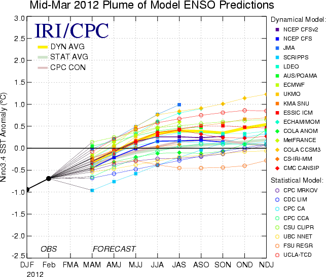
The last several Junes have been pretty darn chilly, and many have dubbed them as "June-uary" because of their unseasonable coolness. This is likely because of La Nina. Although La Nina is dead now, its effects tend to lag on well after the Pacific warms past the La Nina phase. I was down in Portland over the weekend visiting my uncle and a dear friend, and it was pretty wet there. I heard it was even wetter up here in Seattle.


... until we see some summer? Well, if trends are correct, we will start to see summer on July 5th. But the current forecast has a different outlook. It calls for a damp Tuesday, a wet Thursday, and a soaking Saturday, but Wednesday should be nice, Friday should be decent, and once we get into next week, it's cloudy mornings and sunny afternoons as far as the mind can grasp. Perfect summertime weather.

Ahhhhhhhhhh... it feels good to be back on the blog again. Thanks for reading. :)

Charlie

Monday, April 30, 2012

Cascadia Subduction Zone

Monday, April 30, 2012
10:49 A.M.


I know it's been a while since I've posted. Sorry.

I actually haven't been doing a whole lot of weather related things lately. The weather has been pretty boring around here (and it probably will be until October), so I've been focusing on other earth sciences that interest me.

In particular, I've been reading a lot about the Cascadia Subduction Zone. Remember that huge earthquake that occurred last year in Japan? We've got a fault off our coast that bears a lot of similarity to the fault that caused that earthquake and tsunami in Japan last year. I'm sure many of you knew that we live in an earthquake-prone region, especially if you lived through the 2001 Nisqually Earthquake, but I don't know how many of you have really thought about what would happen if we saw an earthquake like the one Japan saw last year.

Huge subduction zone earthquakes like the one in Japan last year and the one in the Indian Ocean in 2004 are called "megathrust earthquakes." Megathrust earthquakes are the most powerful type of earthquakes and completely overshadow all other earthquakes in the amount of energy released. To get an idea of the amount of energy these earthquakes release, take a look at the pie chart below. The three largest earthquakes ever recorded (Sumatra, Alaska, and Chile) make up about half of all the seismic energy released in the past 100 years. The 7.9 earthquake that devastated San Francisco in 1906 is practically invisible on this pie chart.


If a megathrust earthquake were to occur off our coast, many coastal communities would be wiped out from the tsunami and major cities like Seattle and Portland would suffer heavy damage from the earthquake itself. We are not prepared for such a disaster.

I've got to go to class now... I know this isn't the most elegantly written post I've ever created. But it is food for thought.

Charlie

Thursday, April 5, 2012

It's Thursday, Thursday.

Thursday, April 5, 2012
9:43 A.M.


Yes, it may not be Friday, and the weekend may actually be two days away, but I'm still pretty darn excited. Besides it being Easter Sunday, which is always in style, the weather is expected to be nicer than it has been in a while. It certainly won't be hot and sunny, but it will be warmer than we've seen in a while. It will definitely be good picnic weather and a great day to go relax in the UW quad. I just can't get enough of how beautiful the cherry blossoms are right now. Of course, I wish there were actual cherries involved, but I'll take cherry blossoms any day.

Before then, we've got some weather to go through. Today could be an interesting day for weather for certain places, because we've got cold air overhead and strong solar insolation. When the sun heats the lower atmosphere, air expands and decreases in density, and these air parcels continue to rise through more dense and colder air in the mid-upper trophosphere. This phenomenon creates towering cumulus clouds, and, if the conditions are right, thunderstorms. The air mass isn't too unstable today, so if there are any thunderstorms, they will be isolated. We could see some beautiful cumulus clouds though.

Cumulus congestus clouds

 Weak cumulonimbus over Seattle

And here's a picture of a supercell thunderstorm. We will not be seeing these today.


Of course, our thunderstorms are a far cry from the thunderstorms seen east of the Rockies at this time of year, but they are interesting nonetheless. There actually was one time where we got some very well developed thunderstorms on the Cascade foothills, but they were still much weaker than storms like the one pictured above. The UW atmospheric sciences department loves this picture.


Ok, now let's get onto our forecast. Chilly with a slight chance of thunderstorms today, especially along the coast. We could see a few showers tomorrow as well, but they will be more isolated and weaker than today.

Then comes the weekend. 

Right now we've got a pretty big trough off our coast, which is directing cool air into our region. 

Valid 05:00 am PDT Thu, 05 Apr 2012 - UW 36km WRF-GFS 1000-500mb thickness, SLP

But look what happens on Saturday. We get a little ridge over our area, which will direct warmer air into our region.

Valid 05:00 pm PDT Sat, 07 Apr 2012 - 60hr Fcst -  - UW 36km WRF-GFS 1000-500mb thickness, SLP

The ridge will strengthen on Sunday before a weak trough moves in on Monday, giving us a chance of showers and thunderstorms.

Enjoy your Thursday!
Charlie

Wednesday, April 4, 2012

Accuweather's 25 Day Forecast

Wednesday, April 4, 2012
11:00 A.M.


I have a love-hate relationship with Accuweather. On one hand, I love some of the blogs and posts up there, and they are fun to look at. On the other hand, their forecasts are generally pretty inaccurate and they tend not to focus on the West Coast. Today, Accuweather unveiled their new "25 Day Forecast." How much stock can we put in these forecasts when forecasts for each day around here are basically useless after a week and it is hard to gather trends past 10 days?

The answer? Absolutely none.

It's completely ridiculous. It is NOT POSSIBLE to accurately predict the daily high, low, and amount of precipitation 25 days from now, and as I learned in my atmospheric science class with Cliff Mass fall quarter, it will likely never be possible to have reliable daily forecasts past two weeks out. Right now, forecast accuracy dramatically increases inside 120 hours and tends to just get better from there, but I find it highly unlikely that we will ever be able to extend this level of accuracy five-fold, to 25 days. Definitely not in my lifetime.

On April 28, Accuweather is predicting a high of 54 and a low of 39. There will be a 53% chance of a thunderstorm in the afternoon, one hour of precipitation, and a total precipitation of .19 inches. The winds will be out of the south at 5 mph and gust to 14 mph during the day, and they will be from the NNE at 5 mph with gusts to 10 mph at night.

Still, it will be fun to look at this extended forecast, especially if it is forecasting arctic outbreaks in the winter. So while I hate how Accuweather is giving the public a false representation of the science of synoptic-scale modeling, the 25 day forecast will definitely give me some excitement when the weather is boring around here.

And for that, I thank them.
Charlie

Tuesday, April 3, 2012

El Nino/La Nina Update

Tuesday, April 3, 2012
1:06 P.M.

This has to be a super speedy post, cause I have a chem lab orientation I have to be at by 1:30 and it takes around 10 minutes to walk over there. But hopefully I can get some stuff down before then.

I might as well give you guys a brief overview of how our La Nina is doing. It's pretty much dead. Let's take a look at some of the SST anomalies for the different regions. As I have said many times before in this blog, Nino 3.4 is the region that is generally the most telling of the general state of the tropical Pacific as it relates to El Nino or La Nina.

Retrieved from Columbia University's International Research Institute for Climate and Society

Nino 3.4 is just about neutral, and it is forecast to warm up even further over the next couple months. Still, it is not expected to transition to an El Nino phase (thank goodness, I hate those things) but it will likely be a tad warmer than average. We are definitely not in a La Nina anymore. Here's a picture of the SST temperatures and anomalies over the Tropical Pacific for the past week.


And finally, here's a picture of some model forecasts the Nino 3.4 region SST anomalies over the next year or so. The forecast is a little old, but you can clearly see a transition to a neutral phase, with temperatures ever so slightly above average.


I'm a fast typer.
Charlie